
De Waterwolf pumping station

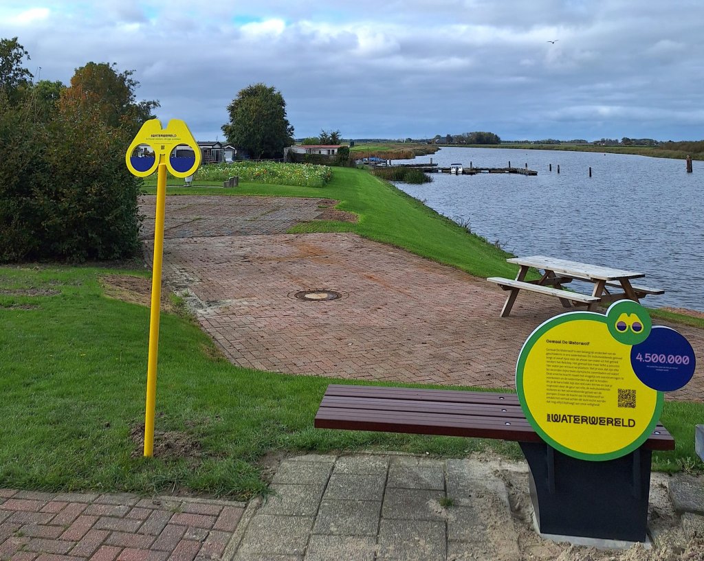
You are at De Waterwolf pumping station
The Waterwolf pumping station is an important part of our water management history. Until 1877, excess water from large parts of Groningen and Drenthe drained naturally into the sea via the Reitdiep. When part of the Reitdiep was closed off in 1877 with a dike and a lock, the inland water could no longer be adequately drained into the sea. This was partly due to an outer channel becoming silted up. The result was that large areas were flooded, especially during heavy rain. To keep the land dry, the provincial executive and the national government decided to build a pumping station: De Waterwolf. This pumping station, which opened in 1920 near Lammerburen, was the first electrically powered pumping station in the Netherlands. At the time of its opening, this pumping station, along with the Ir. D.F. Wouda pumping station near Lemmer, was the largest pumping station in Europe. De Waterwolf was built and managed by the Electra water authority. That is why the pumping station and the site of the building are often referred to by this name.
De Waterwolf symbolises our community’s resilience in the fight against flooding. Today, the pumping station is a listed building and indispensable to draining water from a vast area stretching from Uithuizen in the north to Smilde in the south. Ultimately, all that water flows into De Waterwolf in two streams: from the east via the Reitdiep and from the west via the Kommerzijlsterriet.
The Waterwolf has an impressive capacity and can move up to 4,500 cubic metres of water per minute. Imagine, that's more than 100 tankers full of water or almost 2 Olympic swimming pools! This enormous power makes it possible to prevent flooding and maintain water levels.
Location
Google Maps
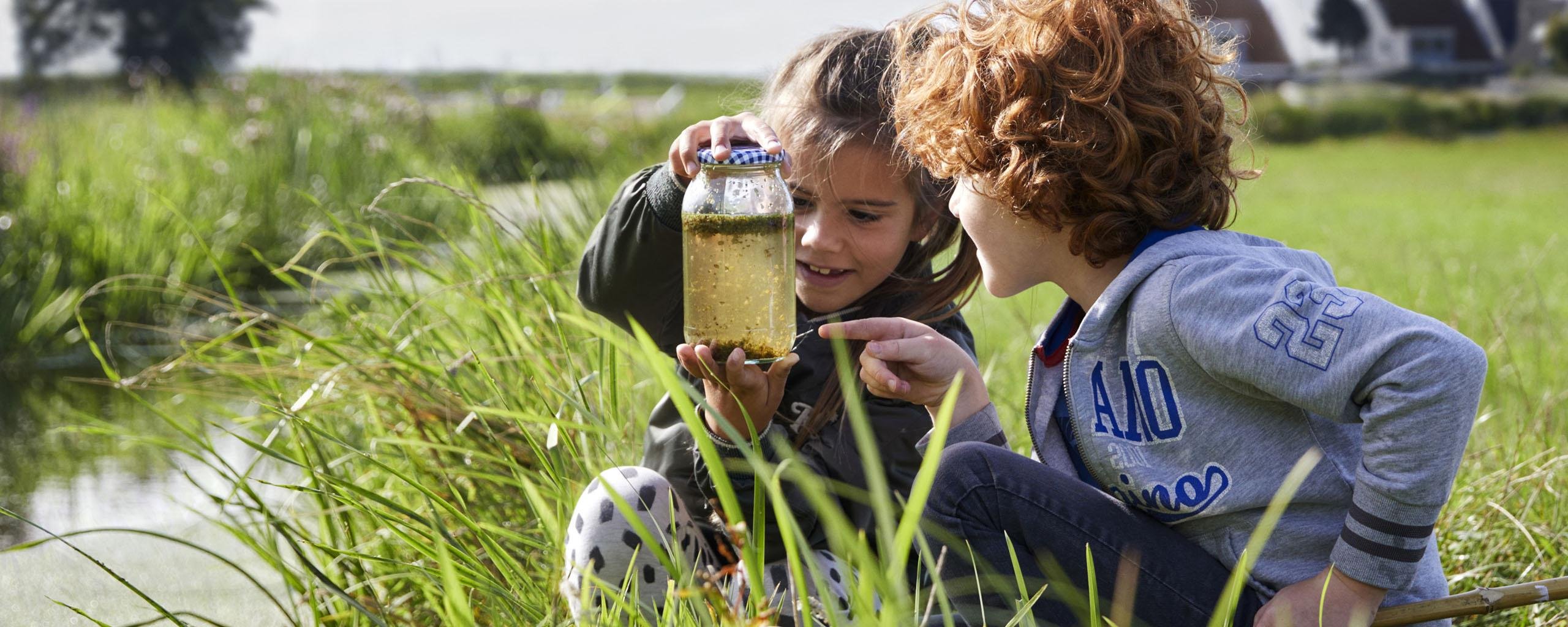
Cycle or walk in the Waterscape
There are several cycling and walking routes around De Waterwolf pumping station. These routes start at the bench next to the pumping station. The routes highlight our beautiful natural surroundings and water-management work in our region. They also help you better understand how we work to ensure safe water and the role the water authority plays in our daily lives.
The routes
Cycle or walk digitally by downloading the route to your phone with a GPX viewer. Email communicatie@noorderzijlvest.nl to let us know which route you would like, and we will send you the GPX file.
Of course, you can also follow the route with a physical map! Download the file in PDF format, print it out, and set off!
Km | Surface | Target group | |
|---|---|---|---|
| 10 kilometres | Walking route - Partially unpaved | Experienced walkers | Walking route De Waterwolf 10 km (Dutch only).pdf |
| 15 kilometres | Walking route - Partially unpaved | Experienced walkers | Walking route De Waterwolf 15 km (Dutch only).pdf |
| 17 kilometres | Cycle route - Asphalt | Cyclists/E-bike | De Waterwolf cycling route 17 km (Dutch only).pdf |
| 30 kilometres | Cycle route - Asphalt | Cyclists/E-bike | De Waterwolf cycling route 30 k (Dutch only).pdf |
| 35 kilometres | Cycle route - Asphalt | Cyclists/E-bike | De Waterwolf cycling route 35 km (Dutch only).pdf |
Year | Event |
|---|---|
| 1913 | Incorporation of the Electra catchwater authority |
| 1918 | Start of De Waterwolf pumping station construction |
| 1920 | Official commissioning of De Waterwolf |
| 1928 | Installation of fourth screw pump |
| 1945 | Transition from fully electric drive to diesel-electric drive by means of a diesel power generation system |
| 1975 | From diesel-electric propulsion to propulsion by four Brons diesel engines. |
| 1995 | The Electra Water Authority merges with Noorderzijlvest Water Authority |
| 1997 | Capacity expansion by installing two additional smaller pumps |
About the name
The pumping station was named Waterwolf. The name describes the large volume of water the pumping station can process in a short period of time. It devours the water from the inland areas, as it were, and spits it out again a short distance away.